Progress report for
Evaluation of deep fresh to low-salinity groundwater resources preserved along the Central Mediterranean coastlines (southern Italy and Malta), as an important potential unconventional source of water.

Achievement at a glance
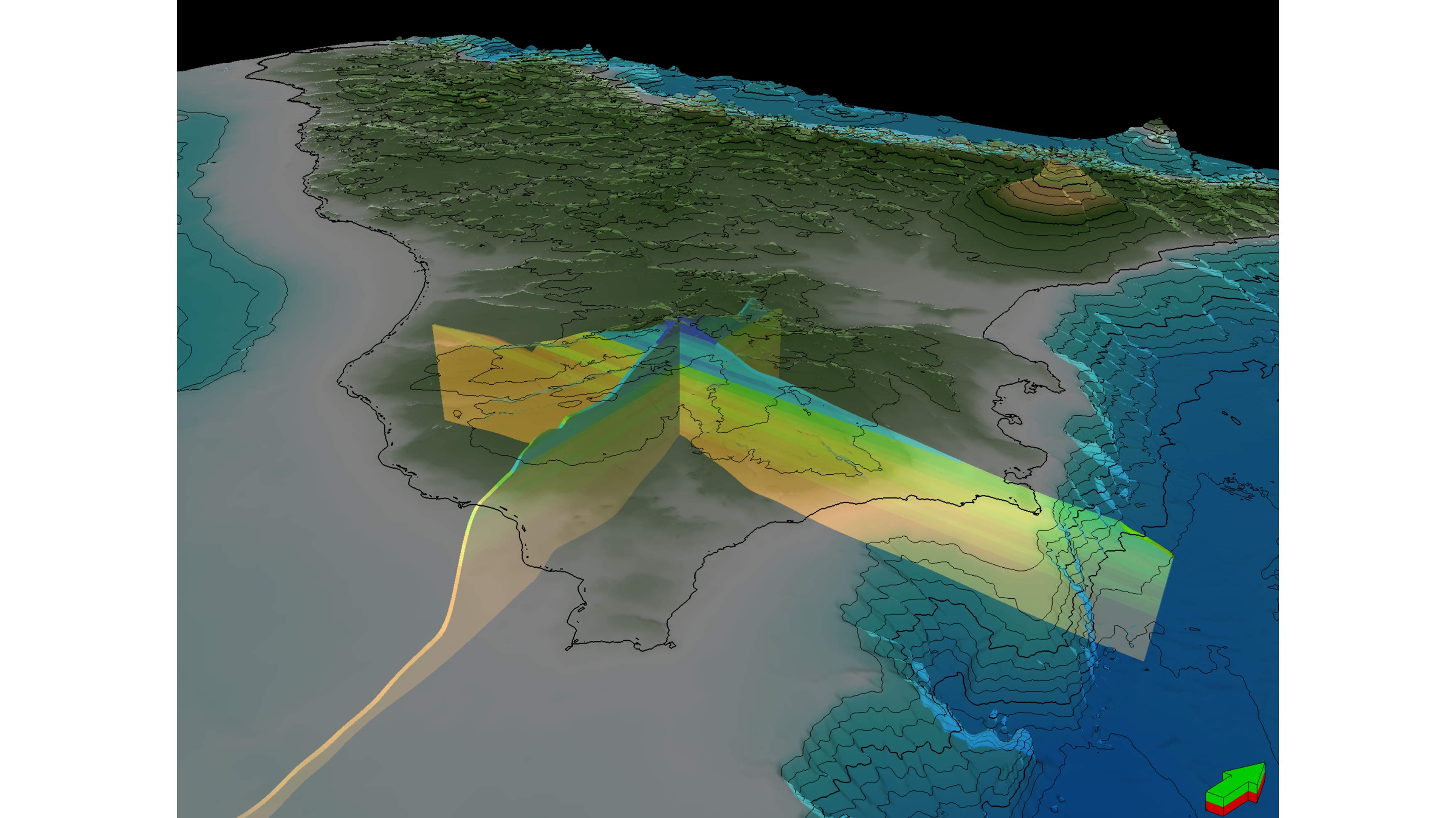
We document an extensive (17.3 km3) fresh/brackish groundwater body preserved in a deep (800-2100 m), buried carbonate platform aquifer (Gela Formation) in southern Sicily (Italy), by integrating a comprehensive well data-set with 3D geological modelling. We reconstructed deep groundwater salinity and pressure distribution based on well composite logs, DSTs and production tests. We attribute the distribution of this fossil groundwater to topographically-driven meteoric recharge driven by the Messinian sea-level drawdown associated to the Mediterranean Salinity Crisis - MSC, about 6 m.a., which we estimate to have reached 2400m below present sea level.Following this discovery, we build a 2D "proof of Concept" model and a full 3D Finite Elements static, geometrical and property model of the entire southern Sicily region, both onshore and offshore, including the main potential aquifer, aquiclude and aquitards levels. Key geological properties (lithology, facies, thickness, etc.), petrophysical properties (porosity, permeability, hydraulic conductivity and transmissivity), as well as temperatures, have been modelled.
Challenges faced in implementation
Integrating different disciplines that require a specialistic knowledge.Integrating different software solutions.
Collecting and digitizing data from past Oil&Gas activities
Next Steps
LORENZO LIPPARINIBeneficiaries
The discovery of such an extensive and deep freshened groundwater has significant implications in terms of resource potential for southern Sicily as well as other Mediterranean coastal regions, which share similar geological setting and water scarcity issues (e.g. Morocco, Tunisia, Egypt, Malta, Cyprus, Lebanon, Turkey).
