Progress report for
Contribution of Artificial Intelligence, Geophysics, GIS, and ICT to the Fight Against Groundwater Drawdown in the Algerian, Arab, and African Arid Regions

Achievement at a glance
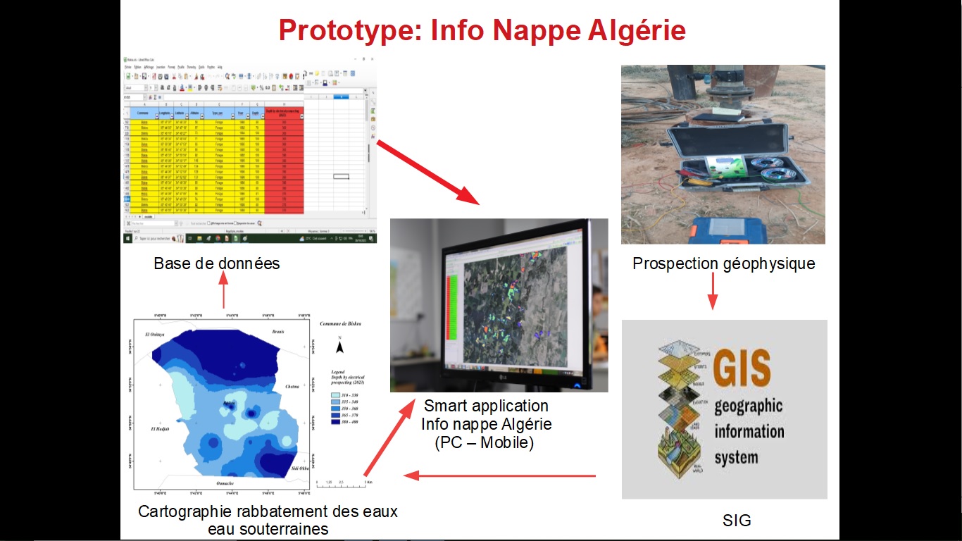
- More than 1,000 geophysical exploration operations have been carried out in Algeria-- Geological maps of the provinces of Biskra and Ouled Jalal were drawn
- Hydrogeological maps were drawn for the provinces of Biskra and Ouled Jalal
- A database of groundwater wells has been prepared for the states of Biskra and Oulad Jalal
Challenges faced in implementation
Lack of financial financing, as we work through private means (self-financing)Algeria is vast and has a large area, which requires great material resources
Next Steps
NOUI ABDERRAHMANEBeneficiaries
Ministry of Water Resources in Algeria
Ministry of Agriculture in Algeria
Biskra State Water Resources Directorate
Directorate of Agriculture of Biskra Province
Directorate of Agriculture of Ouled Jalal Province
Directorate of Water Resources of Ouled Jalal Province
Municipalities of Biskra Province
Municipalities of Ouled Jalal Province
Residents of the Algerian arid regions
Actions
Geological mapping of the states of southern AlgeriaHydrogeological maps were drawn for the states of southern Algeria
Preparing a database of groundwater wells for the states of southern Algeria
Conducting more than 1,000 geophysical exploration operations in the states of southern Algeria
